A side by side from ’99
- By Steve Goshon, 1999.
- BY Eric Henry of EricH Media.
By Steve Goshon, 1999.
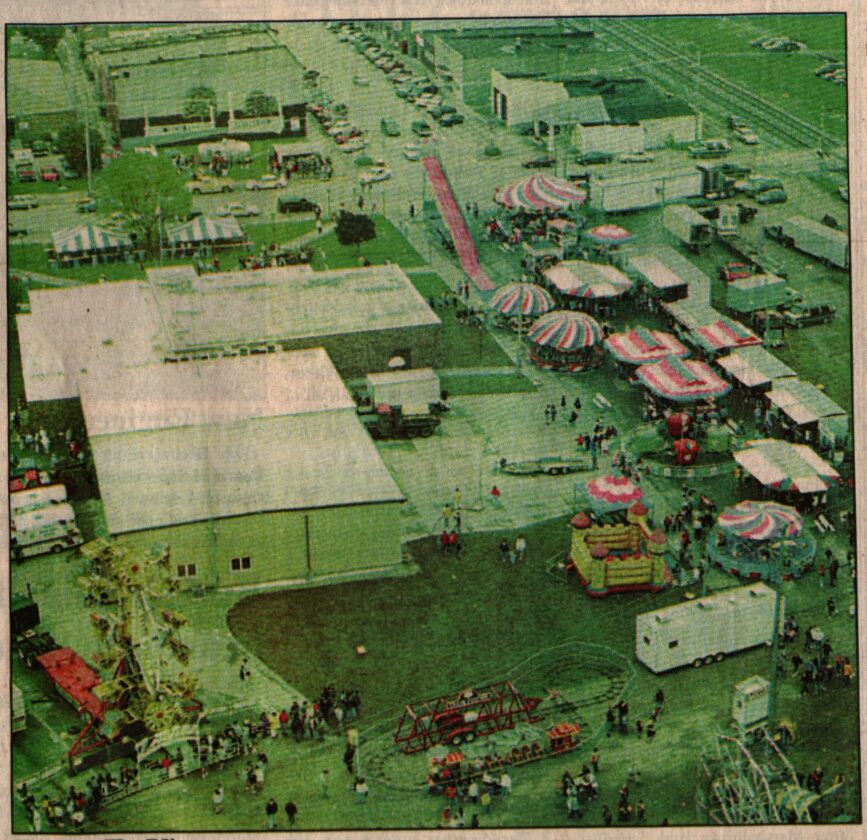
From high above the treetops, soaring among the clouds, a bird’s eye view of the city at its best, watching the ants below play games, eat good food, and enjoy the festivities.
Though more than two decades apart and from slightly different angles, an aerial view of the Lincoln Highway Bridge Festival was made possible with the use of helicopters and drones.
In 1999, helicopter rides were offered as a part of the festival, allowing Steve Goshon to snap an overhead picture on May 15, 1999.
Twenty-six years and two days later, Eric Henry of EricH Media, flew his drone up above the festival during the May 17 parade and grabbed a few photos for the Tama-Toledo News Chronicle.
Goshon’s photo of the festival shows an Eastward view with the carnival in the foreground and Third Street in the background.

BY Eric Henry of EricH Media.
Henry’s done shot shows a bit of a different direction, slanted more to the North. The carnival setup is visible in the bottom left while Third Street runs to the right.
More than a few things have changed in downtown Tama in the 312 months that took place between photos, while plenty has also stayed quite the same. It will be of great interest for The Chronicle to publish a comparison again in another 26 years. So, make sure to remember and check out the front page of the paper in May of 2051. Who knows what will have changed or remained by then?
The News Chronicle would like to extend a huge thank you to EricH Media for making drone shots available for this side-by-side comparison.
Local News

Baier, Brown crowned Homecoming King & Queen
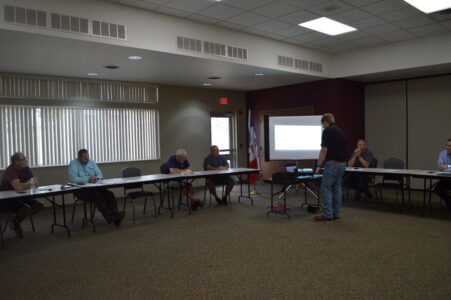
New plans for old Middle School building, early retirement discussion continues at STC board meeting
For the first STC school board meeting in many months, all five directors were present at roll call. Discussion on ...

The Metal Elite
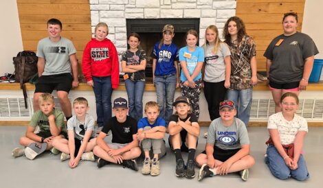
Tama County 4-H prepares to ‘Go Beyond Ready’ for National 4-H Week

Holy Grounds Coffee Shop soft launches in Toledo